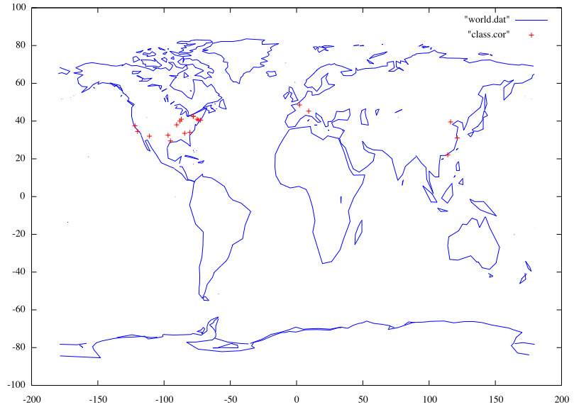
These days I am trying to collect the contact information of my classmates in north america, I’ve almost finished the work. Yesterday I just came across the “world.dem” file in the demo of GNUplot, an idea suddenly struck me: why not plot the position of all the classmates by simply changing the data file. Em, it sounds good.
It is not hard to find the corresponding longitude and latitude of some universities with powerful Google Maps. En, this is the byproduct and I am now quite proud of it. Maybe I can collect the contact information of all the classmates and title the graph as “O2 Math-er, all around the world” :)
OK, I will do this later, do not worry about that.
To my classmates: I will mail you the contact list soon. :)